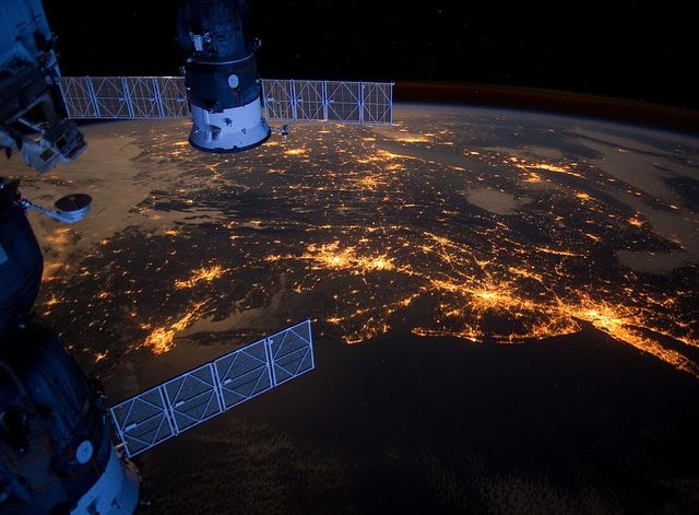
INTRODUCTION GIS: It stands for Geographic Information System. It is defined as a framework that works on the principles of data collection, management, and evaluation. It is a vast field of science related to geography that combines complex data structures. It evaluates the spatial position and assembles layers of informative data into images. For example, […]
First-Ever Forest Monitoring System launched by Pakistan
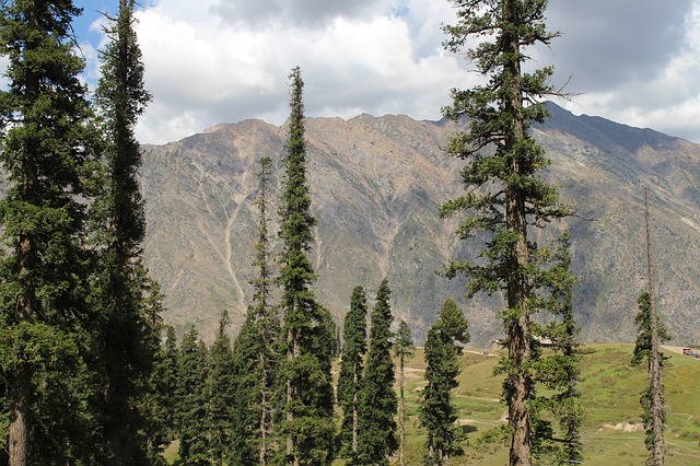
Pakistan did a great effort by launching the first-ever satellite-based forest monitoring system. Forest Monitoring System will be used to monitor tree loss, land deterioration, and habitat fragmentation The Forest monitoring system is a part of the 10 billion tree tsunami project that will assist in tackling climatic conditions. Unlike other countries, Pakistan is facing […]


